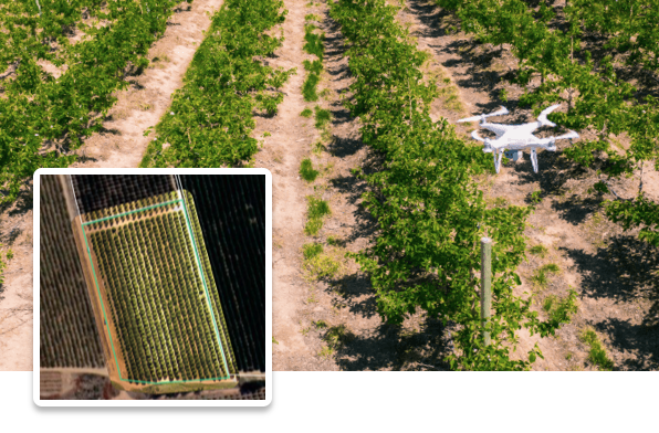
Mapping flights
Visual and multispectral cameras attached to a drone capture high-resolution imagery of a farm, which we process using artificial intelligence to extract crop insights for customers.
Gone through the resources and ready to get started?
Steps to become a drone partner
- Invest in your own hardware
- Acquire a remote pilot license in your region
- Get insurance for your business
- Study our support resources for mapping flights
- Pass a theory test online to start your application
- Perform a practical drone flight test
- Sign our partners agreement
MAPPING FLIGHT RESOURCE TOPICS
